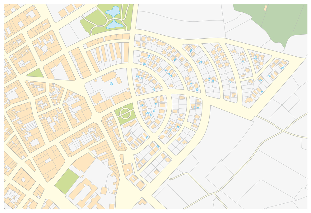
When undertaking property development or purchase, correct legal boundaries and site mapping are essential. Land Registry Mapping/site rectification in the Midlands isn’t just a technical checkbox. It can protect your investment, avoid disputes, and ensure compliance with building regulations.
At Egan Mulready & Associates, we provide full Land Registry Mapping/site rectification in the Midlands, combining civil engineering and legal registry mapping expertise. Based in Athlone, Co. Westmeath, our team has deep experience with the local soils, boundary histories, deeds, and the different requirements of county councils across the Midlands.
What is Site Rectification and Why Do You Need It?
“Site rectification” refers to correcting discrepancies between what is on the ground (site boundaries, structures, roads, fences) and what is registered legally with the Land Registry. Over time, boundary changes, encroachments, and legacy mapping errors can create legal ambiguity. Here are a few common situations where Land Registry Mapping/site rectification in the Midlands is essential:
- When purchasing a plot and discovering the boundary fence doesn’t match the deeds
- If planning permission is being sought and mapping supplied is inaccurate
- For development works where site dimensions need updating for compliance
How Egan Mulready & Associates Helps
- Survey and Investigation
We start by surveying the site, using the latest GPS and GIS tools, comparing old deed maps with current conditions. Especially in the Midlands, natural features or older boundary markers may have shifted or fallen into disrepair.
- Legal Registry Mapping
Where deeds are unclear or mapping is out of date, we liaise with Land Registry offices in counties such as Westmeath, Offaly, Longford, Roscommon and surrounding regions, to prepare updated registry maps that reflect true boundaries.
- Rectification Process
Site rectification involves drafting revised boundary maps, applying for necessary amendments, possibly working with neighbour agreements if encroachments are involved, and ensuring all documentation is in legal order.
Compliance and Planning Support
Updated legal boundary mapping supports planning applications, building regulation compliance, and future resale. With Land Registry Mapping/site rectification in the Midlands, you avoid surprises that might delay builds, cause disputes, or even lead to enforcement actions.
If you own land or property in the Midlands and suspect boundary issues, or are preparing for development, renovation, or sale, don’t leave boundary matters to chance. Egan Mulready & Associates offers specialised services in Land Registry Mapping/site rectification in the Midlands that ensure your site is legally mapped, accurately defined, and fully compliant.